Sunday, August 19, 2018

Ethan Pond


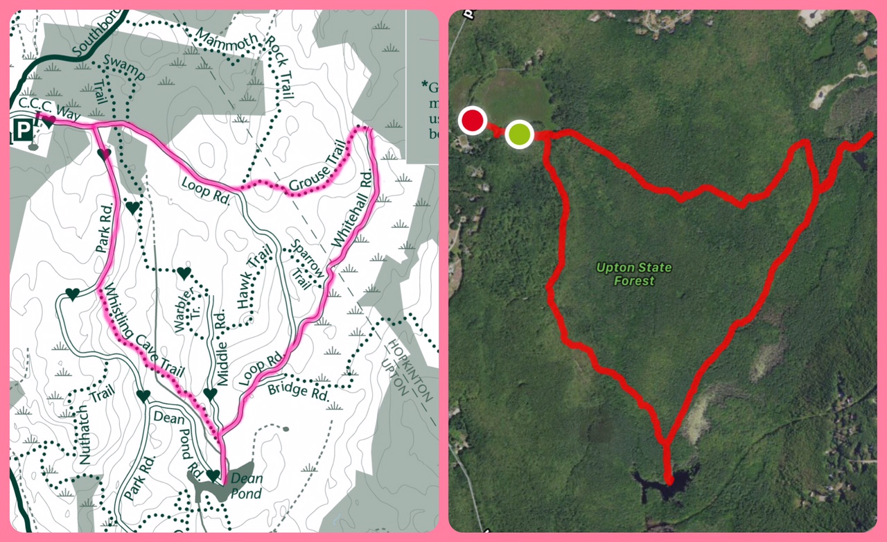
Location: Crawford Notch State Park, White Mountains National Forest
Managed by: New Hampshire Division of Parks & Rec (& AMC)
Trail: Ethan Pond Trail, Ripley Falls Trail
Date: 8/14/18
Distance: 7.05 miles

This trail was very easy to follow! It's hard to see in the map, but the pink highlight with blue stars was the intended hike, and the satellite is the hike as tracked by my phone.


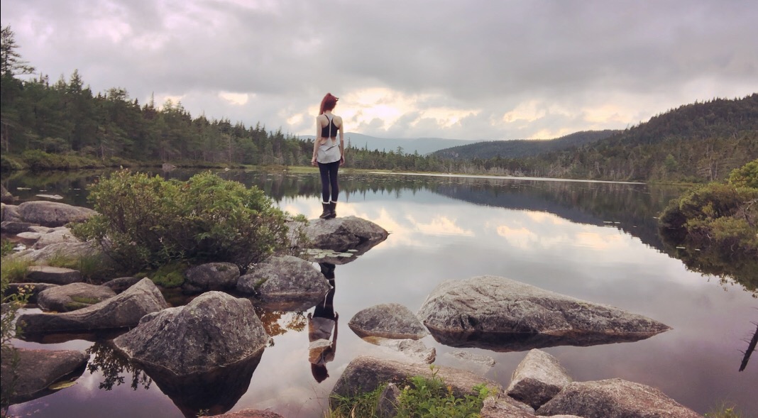
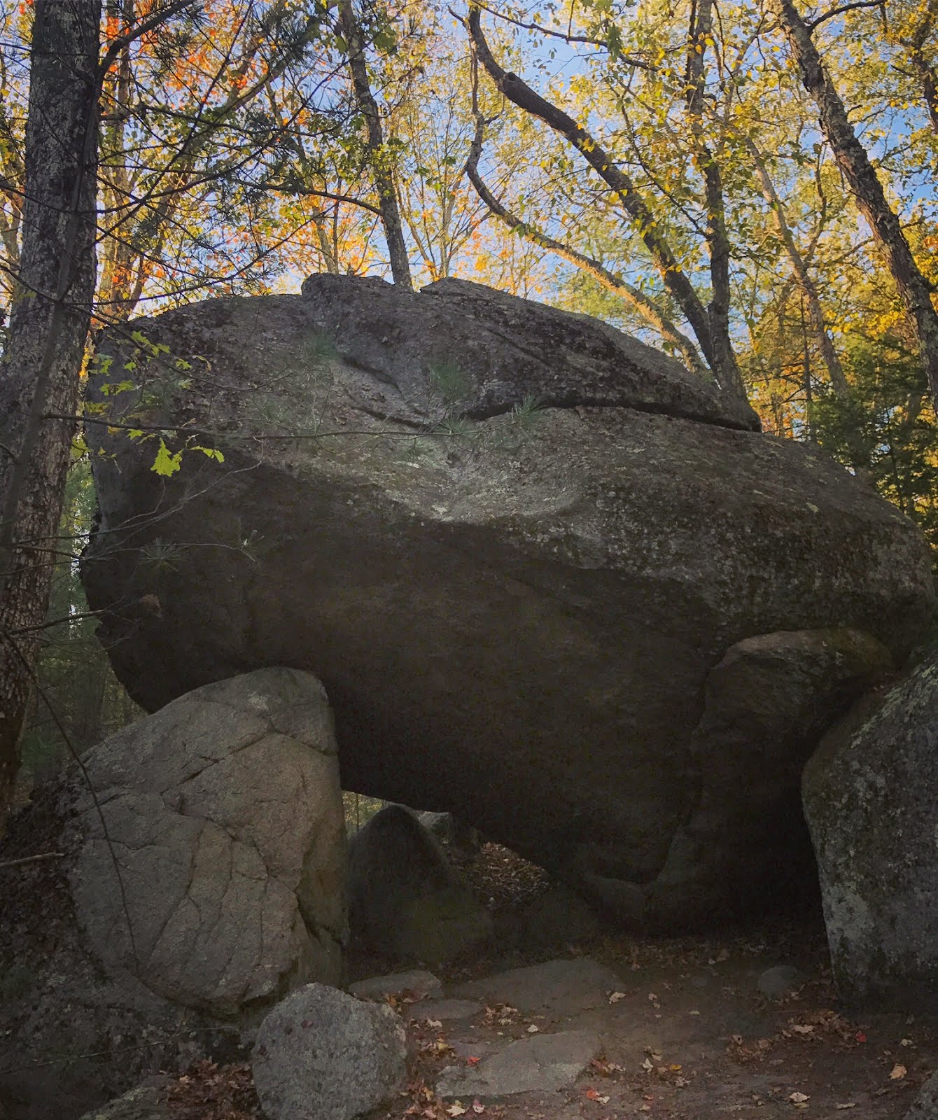
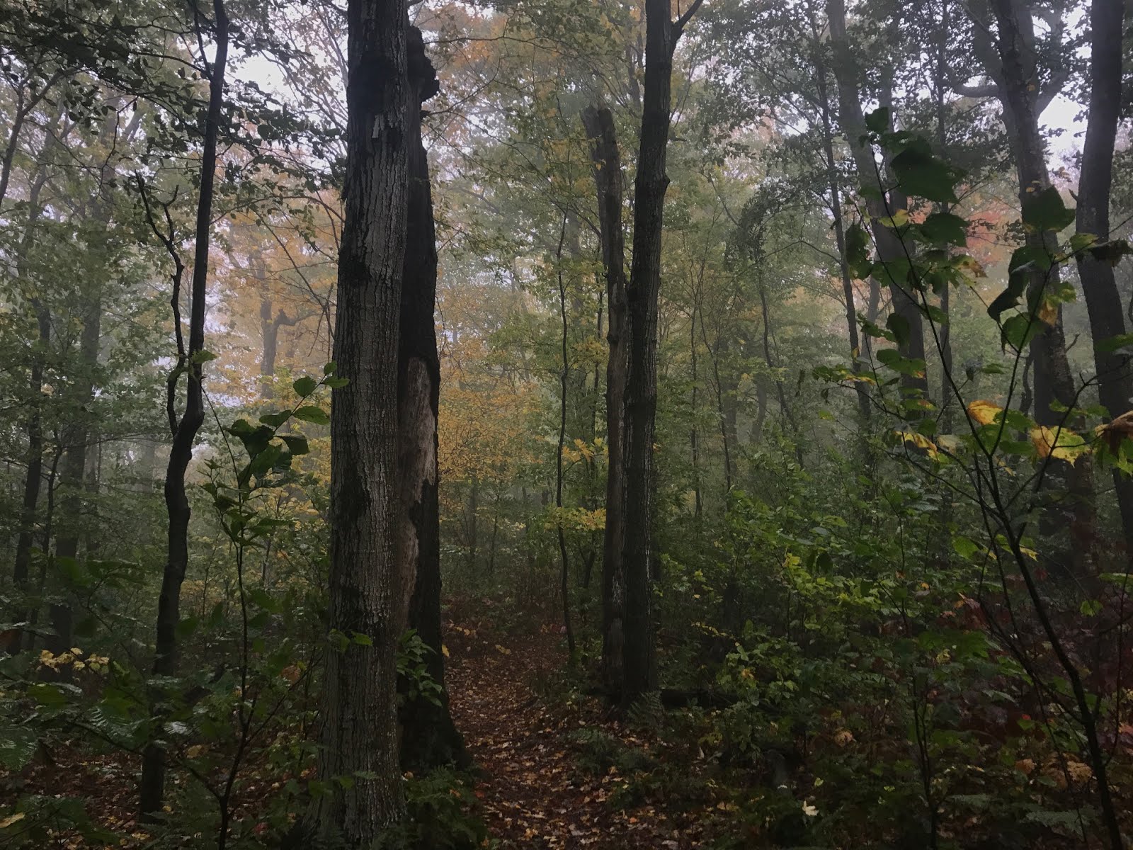
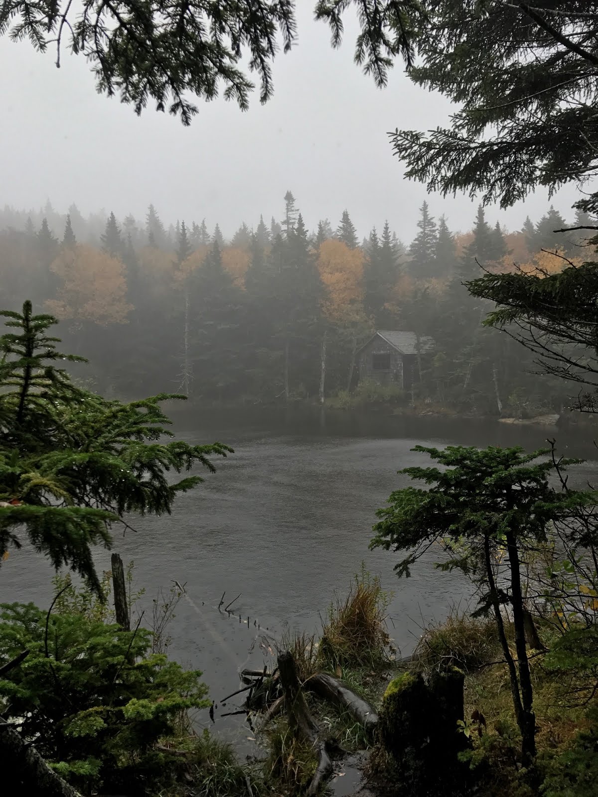
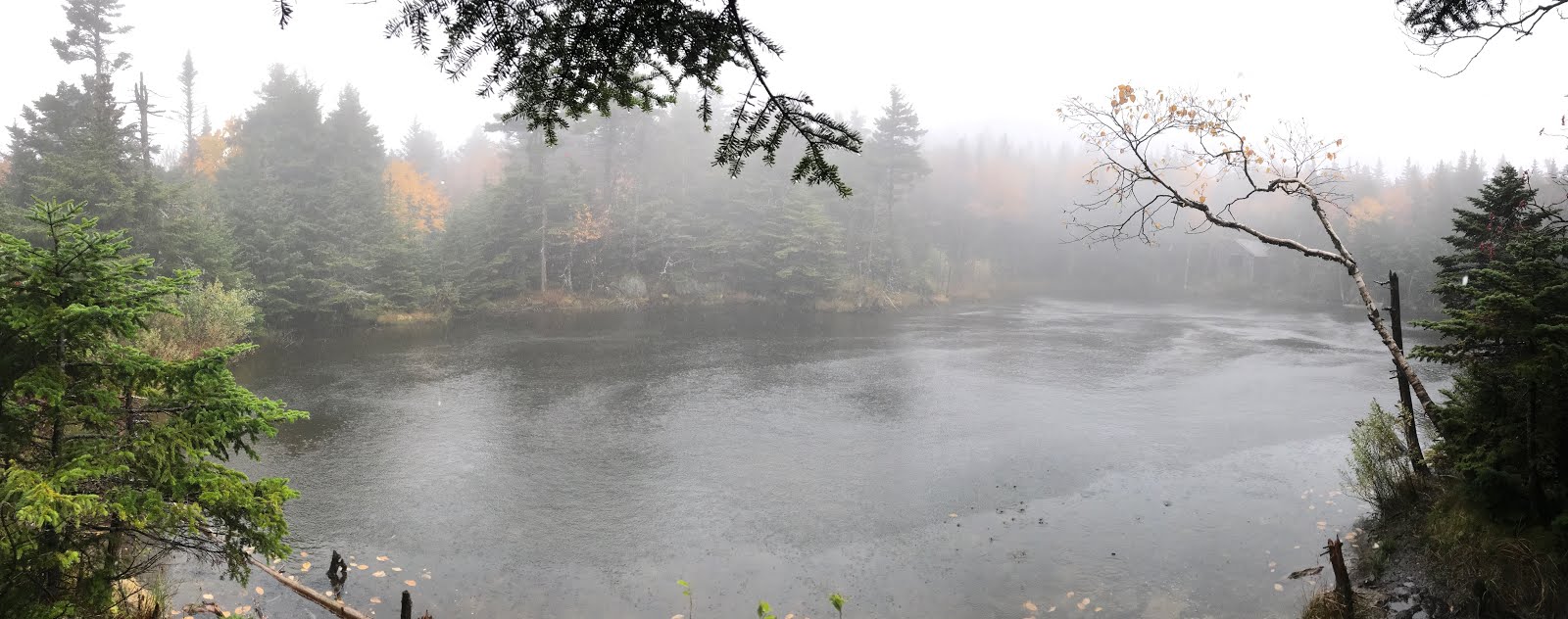
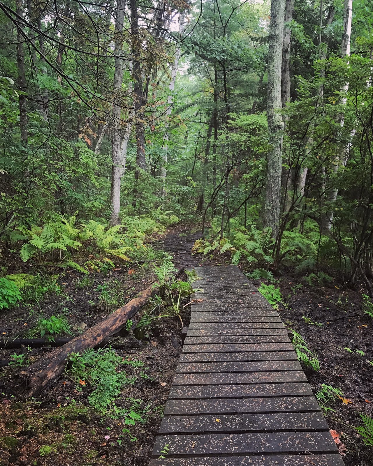
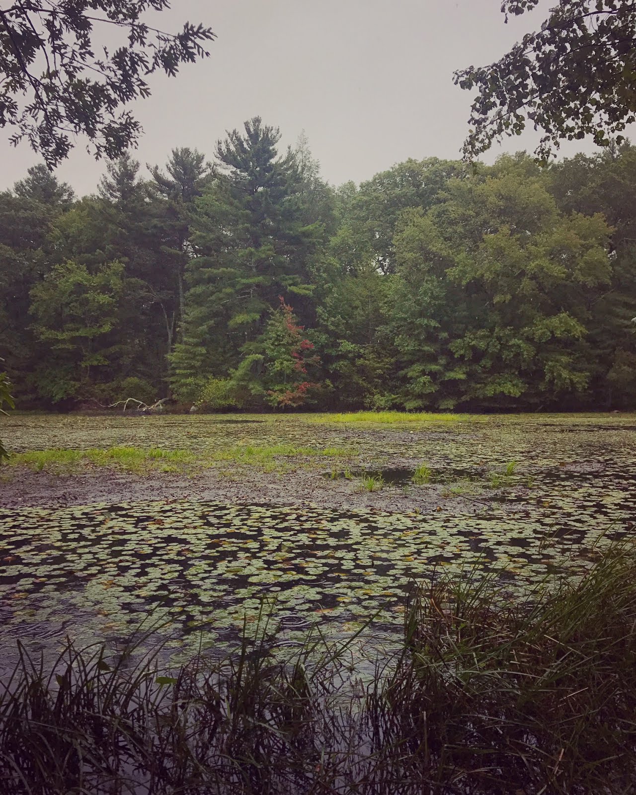
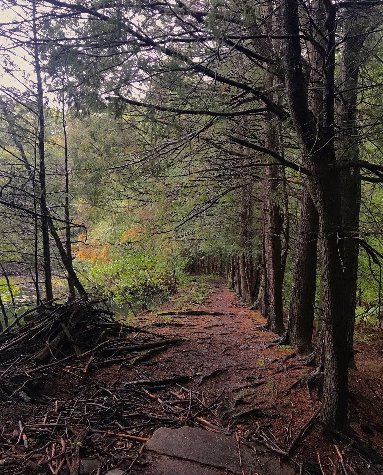
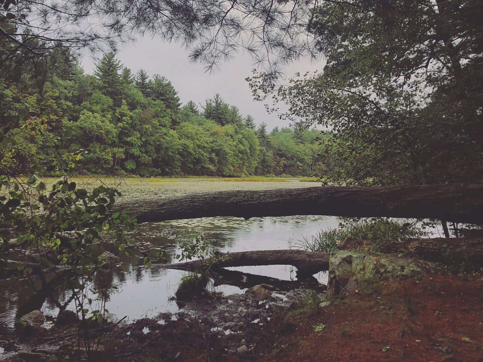
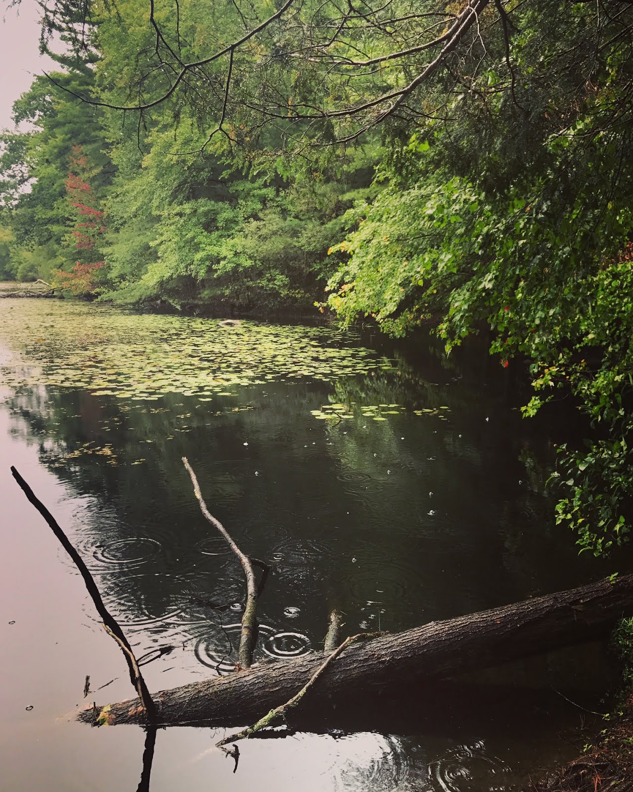
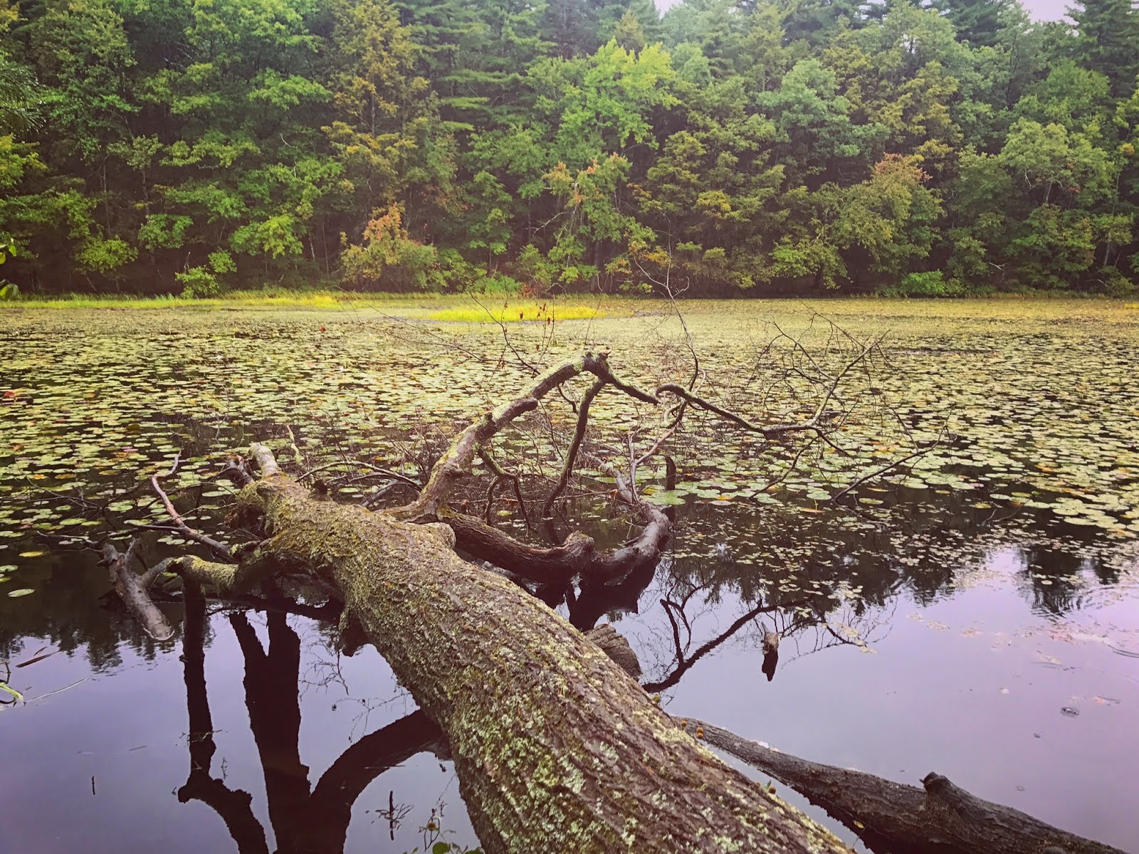
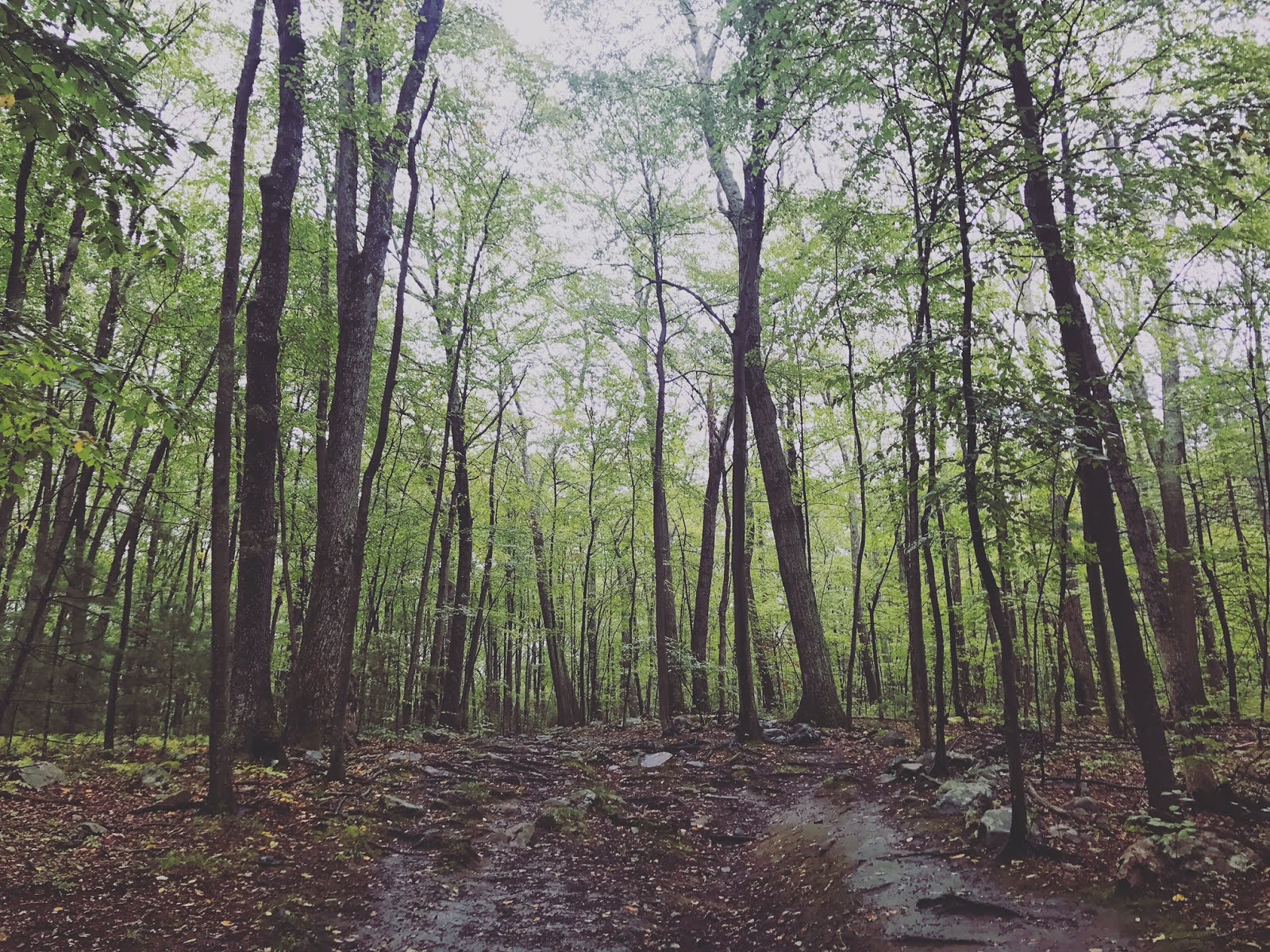
This hike starts out with a kinda brutal steep uphill segment (after a very short walk that crosses railroad tracks). The good news is it only lasts about half a mile! After that, the grade varies for a while, eventually coming to a marshy segment with lots of little plank boardwalks. After this segment, the turn-off for the pond is on the right. The view at this point blew me away. Naturally, I had read that Ethan Pond was truly gorgeous, but seeing it in person (and just before sunset) far exceeded my expectations. After retracing my steps back to the railroad tracks, I took the very short (but also relatively steep) trail to Ripley Falls. This is where I watched the sunset. This is a really quick hike for a 100 foot waterfall!

Summary:
  • Absolutely GORGEOUS. DO THIS HIKE. 
  • You can camp at Ethan Pond. 
  • There is no enforced parking fee, but there are envelopes and a suggested donation (I believe it is $5).
  • Dog friendly
  • I had no cell reception anywhere along this hike. 
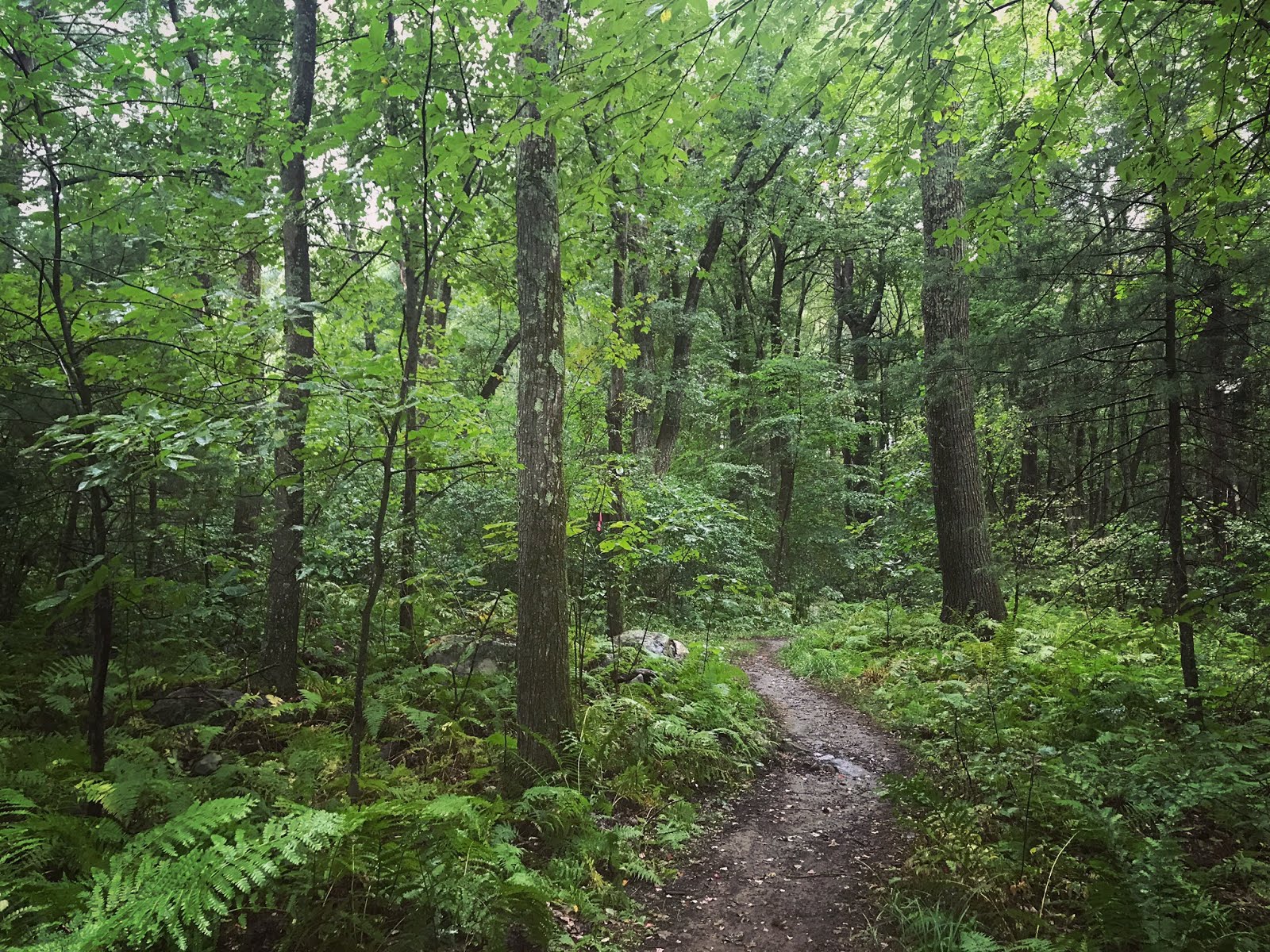
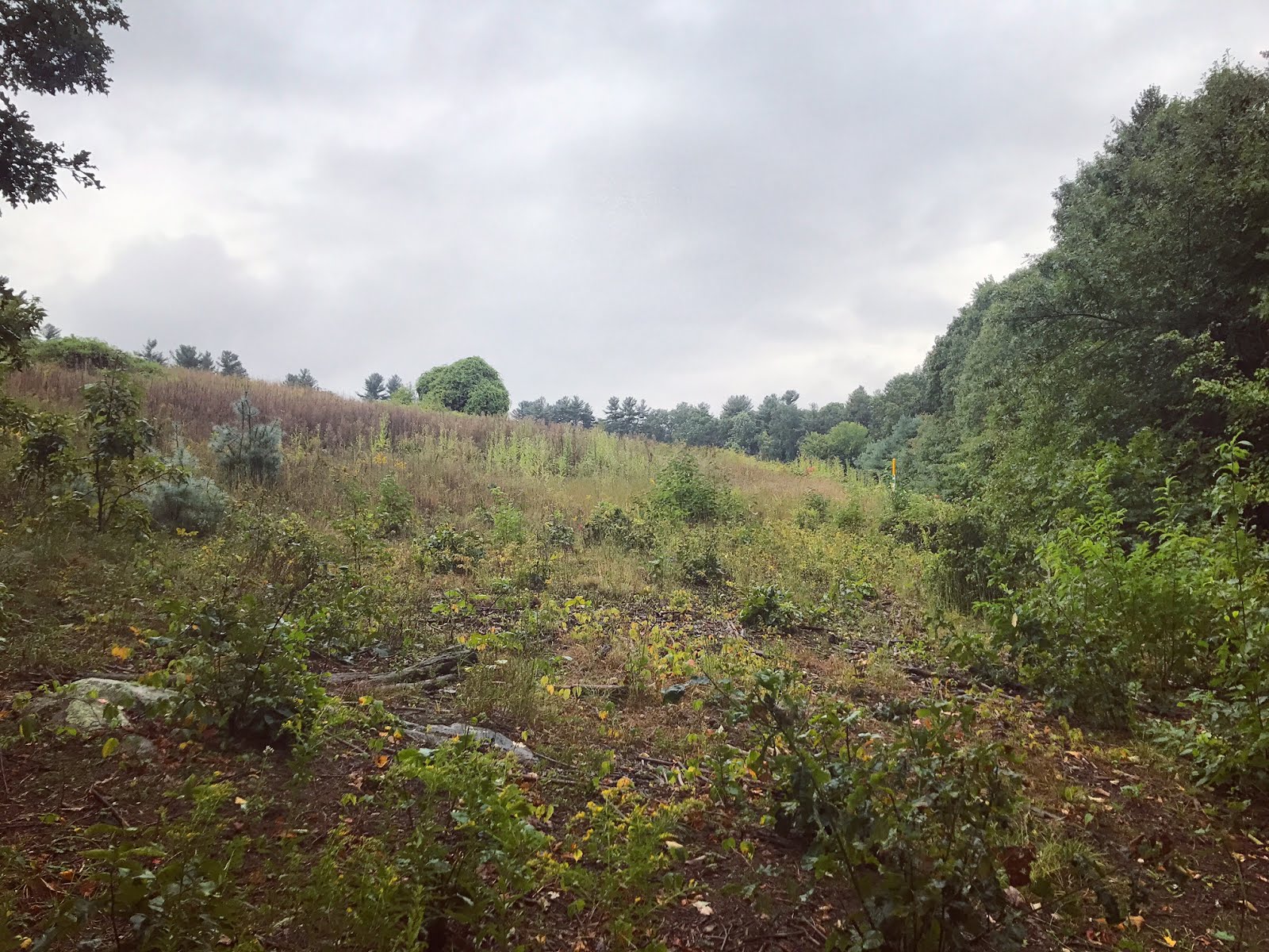
This doesn't look steep, but I assure you... It is. 


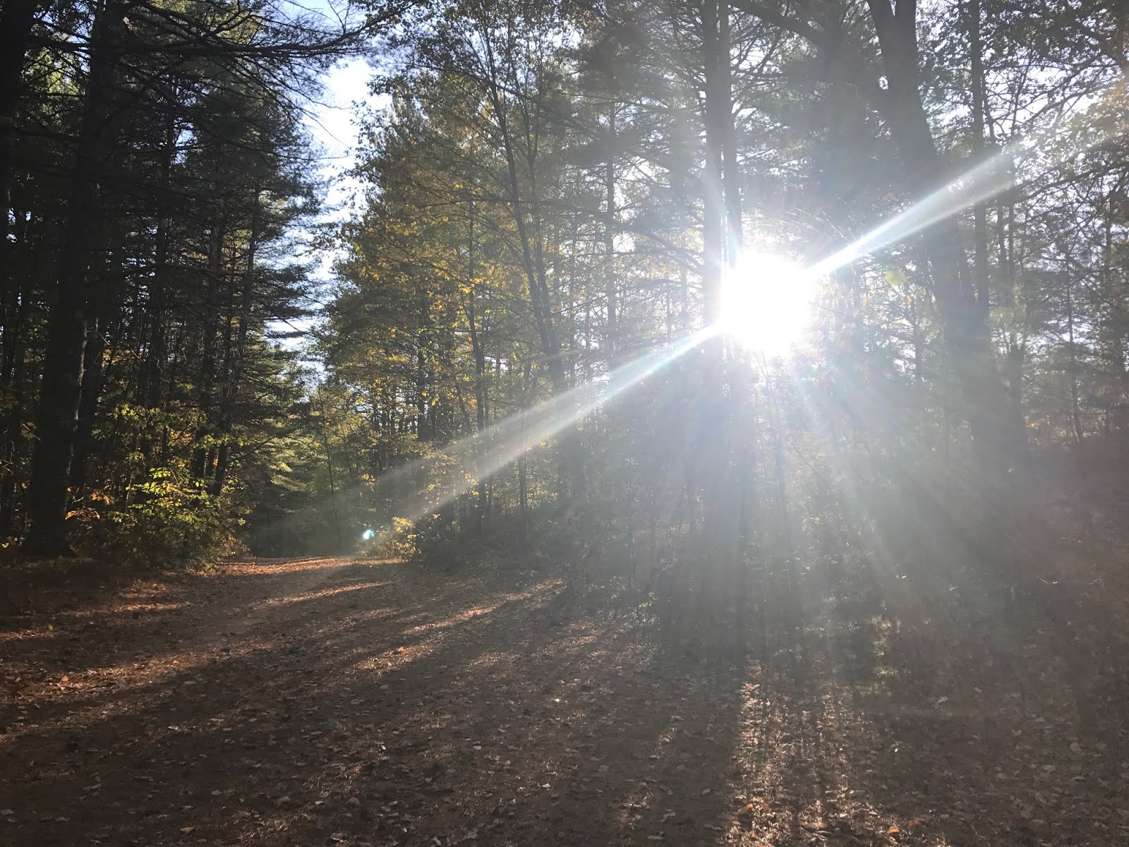
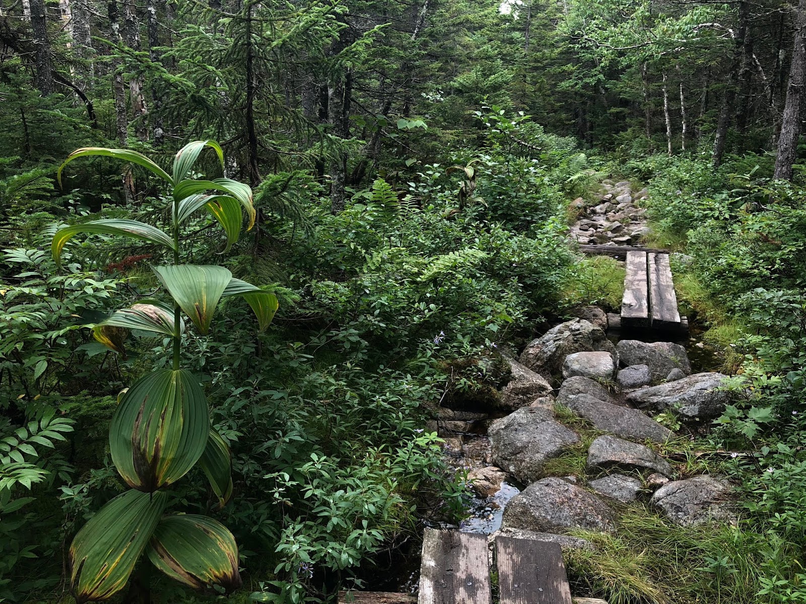
As the marshier trail begins...
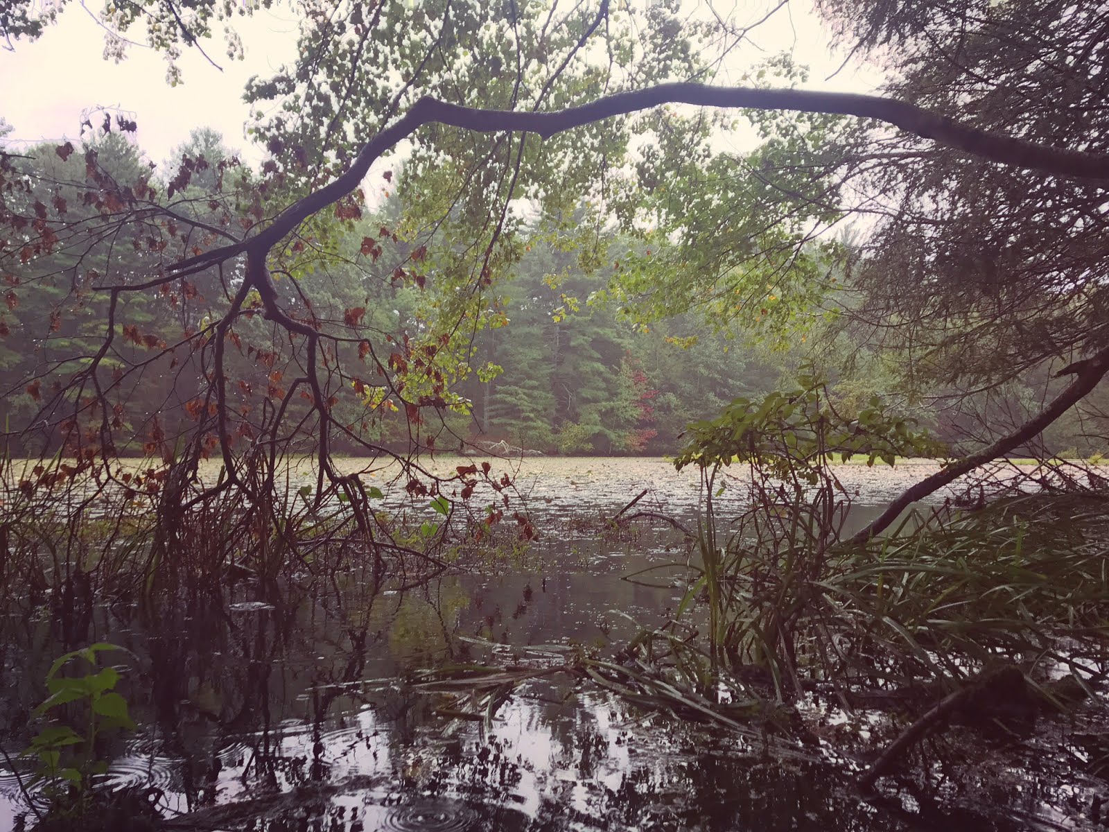
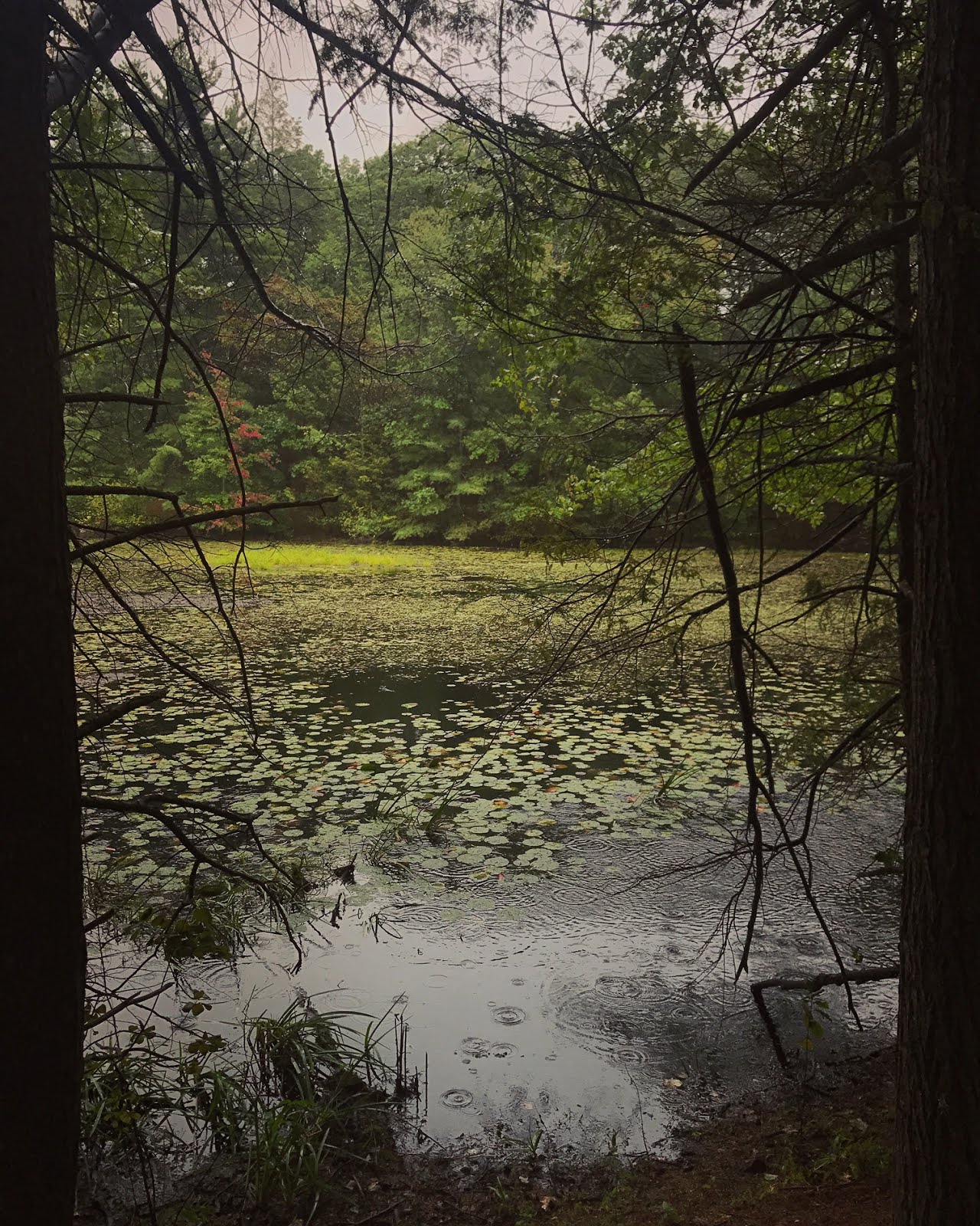
The wetlands change & look like this toward the end of the trail! 
 
Here's a beautiful flower from this section...
And finally, the lake!!


Thursday, October 19, 2017

Upton State Forest


Location: Upton State Forest
Managed by: DCR
Trail: Park Road, Whistling Cave Trail, Loop Road, Whitehall Road, Grouse Trail
Date: 10/19/17
Distance: 5 miles
Trail Map

Mostly easy to follow, but super confusing for me in the upper right corner. You can see where I veered off the plan -- right there, there's a sign saying "Whitehall Road" and so I took that... But apparently you want to take the unmarked trail to the left instead, and then eventually you end up at Grouse Trail, which is only marked from one direction (approaching from Loop Road, rather than Whitehall). I believe the trail I accidentally began up there takes you to Whitehall Reservoir!


This was a fun solo hike I did in between class and seeing a play... It was a little rushed, so I want to go back! This area is absolutely beautiful. Dean Pond is not to be missed (at least, not with the leaves changing!!). The "Whistling Cave Trail" has lots of huge rocks and was my favorite part of this hike (aside from the pond).

Summary:


  • Dog friendly!
  • No parking fee
  • Generally well-marked trails
  • Don't miss the pond!


Honestly though. REALLY?!


Whistling Cave Trail


This was at the very beginning of my hike - Park Road - and I immediately got excited because it's SO PRETTY!!!

Monday, October 9, 2017

Mount Greylock State Reservation


Location: Mount Greylock State Reservation
Managed by: DCR
Trail: Jones Nose Trail, Appalachian Trail, Old Adams Road
Date: 10/9/17
Distance: 11.25 miles
Trail Map


The original planned hike is in pink, and the addition that we decided on mid-hike is in blue! The map was very easy to follow and the trails are well marked.


Fall break! I went to Western Mass to hang out and hike with my friend Cassandra. We wanted to get in a good hike while I was there, so despite the rain, we headed to Mount Greylock! We planned to just do the Jones Nose Trail/Old Adams Rd loop, but when we got to the upper point of the triangle, we did not feel ready to head back just yet, so we decided to keep going... Next thing we knew, we were a mile short of the summit, and decided to just do it. The rain was INSANE. Torrential downpour! We looked & felt like drowned possums. Anyway, it's an absolutely gorgeous and really fun hike. I highly recommend it!

Summary:

  • Dog friendly!
  • No parking fee
  • Well marked trails
  • Just go. Worth it. 

Before getting completely dumped on by the sky (photo by Cassandra)


Cassandra at an Appalachian Trail marker!


I did not yet know what I was in for.


x-treme picture taking pose


Yeah... So at this point it was raining pretty hard.


SO MUCH WATER


SUMMIT!
"From the summit, views of up to 72 mi (116 km) are possible into five different states: Massachusetts, New York, Connecticut, Vermont, and New Hampshire." Ok cool, we wouldn't know.


Looking back just before the end of the hike.


We were maybe the only ones crazy enough to be out there at this point.

Monday, September 25, 2017

Callahan State Park


Location: Callahan State Park
Managed by: DCR
Trail: Pioneer Trail, Wren Trail, Red Tail Trail, Pine Tree Loop, Edmands Road 
Date: 9/25/17
Distance: 3.5 miles
Trail Map

My tracking app wasn't working very well (poor reception) at the start of the hike, which is why the little Pioneer Trail segment is a straight line going at an angle toward Wren Trail. I did get "lost" for a little bit trying to get back as I came around Beebe Pond and ended up in the meadow. Otherwise, the map was pretty easy to follow. You can see that on my return, I walked along Edmands Road instead of retracing my steps -- I don't recommend this. It's a busy, narrow road. I only did it because I was in a rush to get back home before work, and I repeatedly had to jump into the tall grasses on the side of the road.


This park is incredibly beautiful. It was raining, and all the colors were extra-extra-extra vibrant as a result. I only came across one other human during this hike, but that may just be another result of the rain. There were several spots where I found benches and picnic benches and it's a truly lovely place to go read or have a picnic or whatever. I can't wait to go back and explore more -- this was just a tiny tiny part of the northern half of the park.

Summary:

  • Dog friendly!
  • Lots of nice, shady spots for reading and hanging out
  • No parking fee (at least, not at this particular parking area -- there are a few others for this park)

Have I mentioned how much I love boardwalks?

I turned DOWN the saturation on this image so y'all wouldn't be too distracted by how unreal the colors are, except that's actually how my phone captured them because it's so vibrant there

Beebe Pond!

Trees make the best picture frames.

Super overcast and still gorgeous


This was my favorite section of the Pine Tree Loop


Obviously I couldn't *not* climb out on this tree.


When I briefly got lost...

But then found the trail again. 

Aaaand in black & white cuz I couldn't decide.