Location: Callahan State Park
Managed by: DCR
Trail: Pioneer Trail, Wren Trail, Red Tail Trail, Pine Tree Loop, Edmands Road
Date: 9/25/17
Distance: 3.5 miles
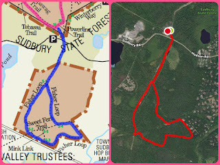
Trail Map
My tracking app wasn't working very well (poor reception) at the start of the hike, which is why the little Pioneer Trail segment is a straight line going at an angle toward Wren Trail. I did get "lost" for a little bit trying to get back as I came around Beebe Pond and ended up in the meadow. Otherwise, the map was pretty easy to follow. You can see that on my return, I walked along Edmands Road instead of retracing my steps -- I don't recommend this. It's a busy, narrow road. I only did it because I was in a rush to get back home before work, and I repeatedly had to jump into the tall grasses on the side of the road.

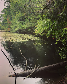
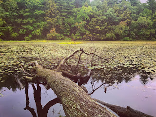
This park is incredibly beautiful. It was raining, and all the colors were extra-extra-extra vibrant as a result. I only came across one other human during this hike, but that may just be another result of the rain. There were several spots where I found benches and picnic benches and it's a truly lovely place to go read or have a picnic or whatever. I can't wait to go back and explore more -- this was just a tiny tiny part of the northern half of the park.
Summary:
- Dog friendly!
- Lots of nice, shady spots for reading and hanging out
- No parking fee (at least, not at this particular parking area -- there are a few others for this park)
Have I mentioned how much I love boardwalks?
I turned DOWN the saturation on this image so y'all wouldn't be too distracted by how unreal the colors are, except that's actually how my phone captured them because it's so vibrant there
Beebe Pond!
Trees make the best picture frames.
Super overcast and still gorgeous
This was my favorite section of the Pine Tree Loop
Obviously I couldn't *not* climb out on this tree.
When I briefly got lost...
But then found the trail again.
Aaaand in black & white cuz I couldn't decide.


